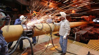
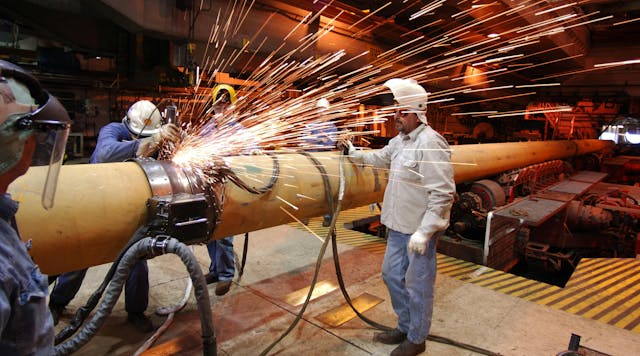
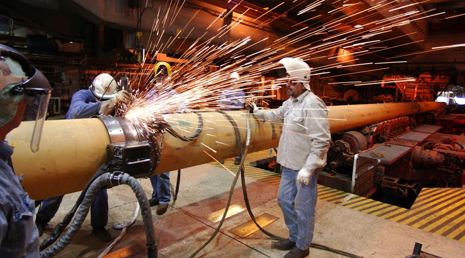
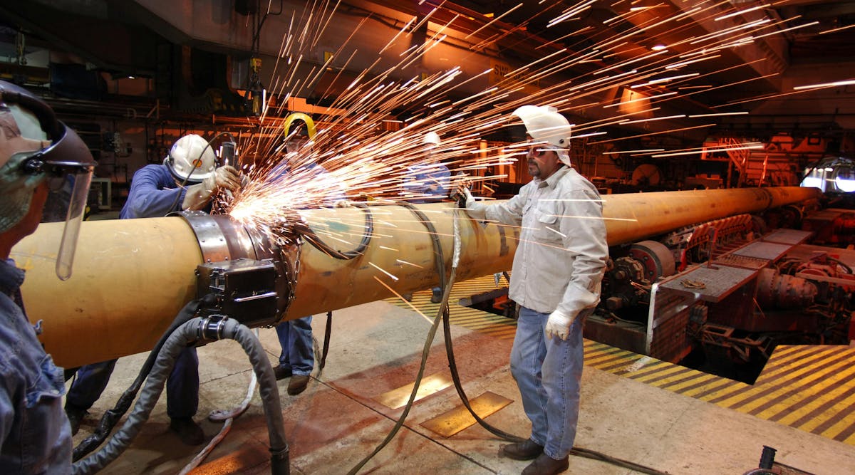
巴西国家石油公司为超深水 Sergipe-Alagoas 项目寻求两艘 FPSO

2023 年 4 月 4 日
巴西国家石油公司已开始为其塞尔希培深水项目 (SEAP) 租用两艘 FPSO,该项目位于巴西近海 100 公里处的塞尔希培-阿拉戈斯盆地。

离岸人员

巴西里约热内卢——巴西石油公司已开始为其塞尔希培深水项目 (SEAP) 租用两艘 FPSO,该项目位于巴西近海 100 公里处的塞尔希培-阿拉戈斯盆地。 

巴西国家石油公司表示,这些平台(SEAP I和SEAP II)将在该国东北部地区开辟新的生产前沿,并扩大该地区的天然气供应。

每座工厂都能够处理高达 120,000 桶/天的优质轻油 (38-41 API),每天的天然气产量高达 18 MMcm。

该开发项目将涉及水深达 3,000 m 的生产,并采用各种技术创新。巴西国家石油公司的浮标技术规范包括改进水库产出水的处理和注入系统,以及减少温室气体排放的其他技术。

SEAP I项目涵盖深水Agulhinha、Agulhinha Oeste、Cavala和Palombeta油田,位于BM-SEAL-10和BM-SEAL-11特许权内。Petrobras 与 IBV Brasil Petroleo 合作运营 BM-SEAL-11,但拥有 BM-SEAL-10 100% 的权益。

SEAP II 分别覆盖 BM-SEAL-4、BM-SEAL-4A 和 BM-SEAL-10 特许权的 Budi现场、Budi现场 Noroeste 和 Budi现场 Sudeste 油藏。

Petrobras 与 ONGC Campos Limitada 合作运营 BM-SEAL-4,并拥有 BM-SEAL-4A 和 BM-SEAL-10 的 100% 股权。

2023年4月4日

有关的

由索尔斯塔德离岸公司提供
诺曼德刀具
诺曼德刀具
诺曼德刀具
诺曼德刀具
诺曼德刀具
资料来源:Wildcat、Westwood 分析;由韦斯特伍德全球能源集团提供
2022 年基韦尔斯精彩看点 1536x895
由里约热内卢联邦大学提供;研究门网
巴西东北部近海塞尔希培-阿拉戈斯盆地位置图。 星号表示圣米格尔多斯坎普斯市(根据 Souza-Lima 等人,2002 年修改)。
照片 224771828 © Renato Meireles | 梦想时光网
近海勘探 巴西 Dreamstime M 224771828

由调制解调器提供
由 QuarterNorth Energy 提供
由雷斯塔能源公司提供
原文链接/offshore_mag

Petrobras seeking two FPSOs for ultradeepwater Sergipe-Alagoas projects

April 4, 2023
Petrobras has started the process for chartering two FPSOs for its Sergipe Deepwater Project (SEAP), 100 km offshore Brazil in the Sergipe-Alagoas Basin.

Offshore staff

RIO DE JANEIRO, Brazil  Petrobras has started the process for chartering two FPSOs for its Sergipe Deepwater Project (SEAP), 100 km offshore Brazil in the Sergipe-Alagoas Basin.

The platforms (SEAP I and SEAP II) will open a new production frontier in the country’s northeast region and expand availability of gas in the area, Petrobras said.

Each will have the capacity to process up to 120,000 bbl/d of good-quality light oil (38-41 API), with up to 18 MMcm/d of gas day.

The development will involve production in water depths of up to 3,000 m, with various technological innovations. Petrobras’ technical specifications for the floaters include improvements in the treatment and injection system for water produced in the reservoir, and other techniques to cut greenhouse-gas emissions.

The SEAP I project covers the deepwater Agulhinha, Agulhinha Oeste, Cavala and Palombeta fields, located in the BM-SEAL-10 and BM-SEAL-11 concessions. Petrobras operates BM-SEAL-11 in partnership with IBV Brasil Petróleo but has a 100% interest in BM-SEAL-10.

SEAP II covers reservoirs in the Budião, Budião Noroeste and Budião Sudeste fields in the BM-SEAL-4, BM-SEAL-4A and BM-SEAL-10 concessions, respectively.

Petrobras operates BM-SEAL-4 in partnership with ONGC Campos Limitada and has 100% of BM-SEAL-4A and BM-SEAL-10.

04.04.2023

Related

Source: Wildcat, Westwood analysis; Courtesy Westwood Global Energy Group
Key Wells To Watch 2022 1536x895
Courtesy Federal University of Rio de Janeiro; ResearchGate.net
Location map of the Sergipe-Alagoas Basin offshore northeastern Brazil. The star indicates the municipality of São Miguel dos Campos (modified from Souza-Lima et al., 2002).
Photo 224771828 © Renato Meireles | Dreamstime.com
Offshore Exploration Brazil Dreamstime M 224771828