Seismic Survey To Check for Carbon Storage Potential in Denmark
Smart Seismic Solutions plans to use 50,000 nodes to examine storage potential for the Greenstore CCS project.
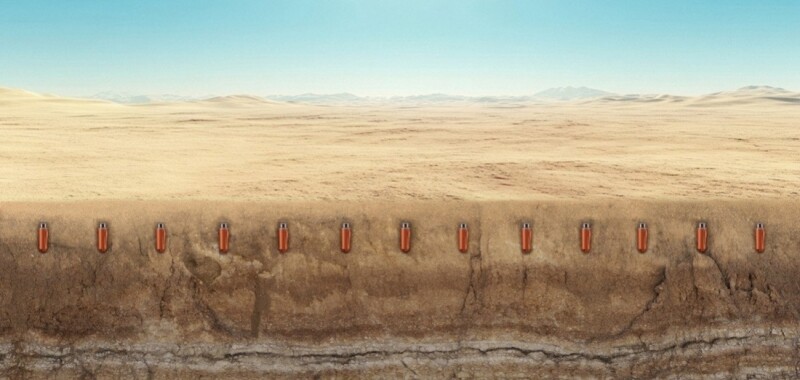
Stryde’s Range+ seismic nodes weigh 150 g each, allowing them to be deployed on foot.
Source: Stryde.
Smart Seismic Solutions (S3) is deploying more than 50,000 nodes as part of an exploration survey for the Greenstore carbon capture and storage (CCS) project in Denmark.
Greenstore is an onshore CO2 storage initiative between Randers and Hobro in central Denmark and is operated by Harbour Energy, with Ineos Energy and Nordsøfonden as partners. The project is planned to assess the potential to establish a full-scale onshore CO2 storage facility across approximately 500 km2, with the ambition of becoming operational as early as 2030.
As part of this evaluation program, S3 is set to conduct the largest seismic survey undertaken in Europe. The seismic data is expected to underpin the selection and appraisal of storage sites ahead of drilling activities, which are planned to begin with the first exploration well in summer 2026, followed by two additional wells in 2027.
Amie Foster is business development manager for Stryde, and Patrick Robert is the CEO of S3.
Source: Stryde.
“We are proud to continue imaging Denmark subsurface between middle and northern Jutland targeting Bunter sandstone,” said Patrick Robert, CEO of S3. “Having completed two highly successful projects with Stryde, we’ve experienced how their scalable system optimizes our seismic field operations. It enables faster, leaner campaigns that deliver requested data quality on budget and with significantly reduced land impact—key factors for our new energy clients.”
This project marks the third deployment of Stryde’s nodal seismic system by S3 across its European new-energy portfolio.
“We are thrilled to continue supporting S3 as they push the boundaries of modern and sustainable exploration,” said Amie Foster, business development manager for Stryde. “Their repeat investment in Stryde’s technology reflects the growing recognition that high-quality seismic doesn’t have to come with high cost or high carbon impact. Together, we’re proving that it’s possible to accelerate the energy transition through smarter, more efficient seismic acquisition.”
For the upcoming 3D seismic survey, S3 plans to deploy 50,000 Stryde Range+ nodes across 160,000 receiver locations. The high-density acquisition program is designed to deliver a comprehensive seismic data set capable of imaging potential subsurface CO2 storage formations across the 500-km² survey area between Randers and Hobro.
Each Stryde node weighs 150 g, making it the lightest autonomous seismic receiver on the market, according to the company. The light weight allows small crews to deploy nodes on foot, minimizing reliance on vehicles. Vibroseis trucks, vehicles that generate controlled ground vibrations, are planned as the seismic energy source, with approximately 41,000 source points planned across the survey area.